


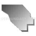
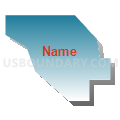
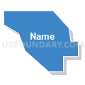
Denver 639, Denver County, Colorado
About
Outline

Summary
| Unique Area Identifier | 547516 |
| Name | Denver 639 |
| County | Denver County |
| State | Colorado |
| Area (square miles) | 0.20 |
| Land Area (square miles) | 0.20 |
| Water Area (square miles) | 0.00 |
| % of Land Area | 100.00 |
| % of Water Area | 0.00 |
| Latitude of the Internal Point | 39.70071210 |
| Longtitude of the Internal Point | -104.95080900 |
Maps


Graphs
Select a template below for downloading or customizing gragh for Denver 639, Denver County, Colorado


Neighbors
Neighoring Voting District (by Name) Neighboring Voting District on the Map
- Denver 634, Denver County, CO
- Denver 638, Denver County, CO
- Denver 640, Denver County, CO
- Denver 642, Denver County, CO
- Denver 645, Denver County, CO